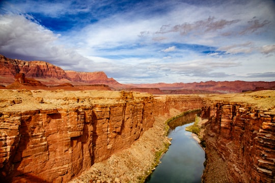
Travel Guide of Marble Canyon in United States by Influencers and Travelers
Marble Canyon is a populated place in Coconino County, Arizona, United States. Marble Canyon is located on U.S. Route 89A at the Navajo Bridge, 12 miles southwest of Page. Marble Canyon has a post office with ZIP code 86036.
The Best Things to Do and Visit in Marble Canyon
TRAVELERS TOP 10 :
- Vermilion Cliffs National Monument
- Horseshoe Bend
- Trekking | Monument Valley Navajo Tribal Park
- Glen Canyon Dam Overlook
- Glen Canyon Dam
- Stargazing | Page, Arizona
- Lake Powell
- Page
- Hiking | Page, Arizona
- Antelope Canyon
1 - Vermilion Cliffs National Monument
9 km away
Vermilion Cliffs National Monument is located in northern Coconino County, Arizona, United States, immediately south of the Utah state line.
View on Google Maps Book this experience
2 - Horseshoe Bend
13 km away
Horseshoe Bend is a horseshoe-shaped incised meander of the Colorado River located near the town of Page, Arizona, United States.
Learn more Book this experience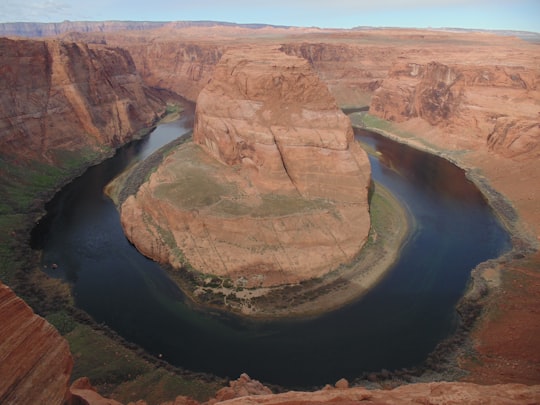

3 - Trekking | Monument Valley Navajo Tribal Park
19 km away
Drive around Navajo County in a jeep. See the incredible sandstone formations in Monument Valley and locations where famous movies were filmed. Explore spiral rocks in Lower Antelope Canyon.
Book this experience
4 - Glen Canyon Dam Overlook
18 km away
Horseshoe Bend is a horseshoe-shaped incised meander of the Colorado River located near the town of Page, Arizona, United States. It is also referred to as the "east rim of the Grand Canyon."
Learn more Book this experience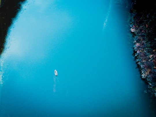
5 - Glen Canyon Dam
19 km away
Glen Canyon Dam is a concrete arch-gravity dam on the Colorado River in northern Arizona, United States, near the town of Page. The 710-foot high dam was built by the U.S.
View on Google Maps Book this experience
6 - Stargazing | Page, Arizona
19 km away
Join a unique night hike in the slot canyons of Page, AZ, and experience stargazing from an entirely new perspective. Admire thousands of stars in the night sky and learn about constellations .
Book this experience
7 - Lake Powell
19 km away
Lake Powell is a man-made reservoir on the Colorado River in Utah and Arizona, United States. It is a major vacation spot visited by approximately two million people every year.
Learn more Book this experience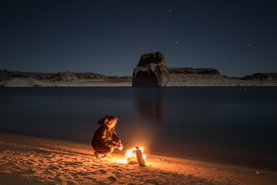

8 - Page
19 km away
Page is a city in Coconino County, Arizona, United States, near the Glen Canyon Dam and Lake Powell. As of the 2010 census, the population of the city was 7,247.
Learn more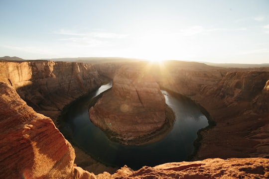
9 - Hiking | Page, Arizona
19 km away
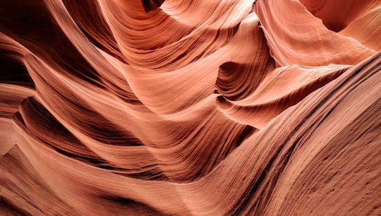
Discover the natural beauty of the Rattlesnake and Owl Slot Canyons on a guided tour. Explore the narrow passageways, climb over rocks, and marvel at the play of light and shadow.
Book this experience
10 - Antelope Canyon
23 km away
Antelope Canyon is a slot canyon in the American Southwest, on Navajo land east of Page, Arizona. It includes two separate, scenic slot canyon sections, referred to as Upper Antelope Canyon, and Lower Antelope Canyon.
Learn more Book this experience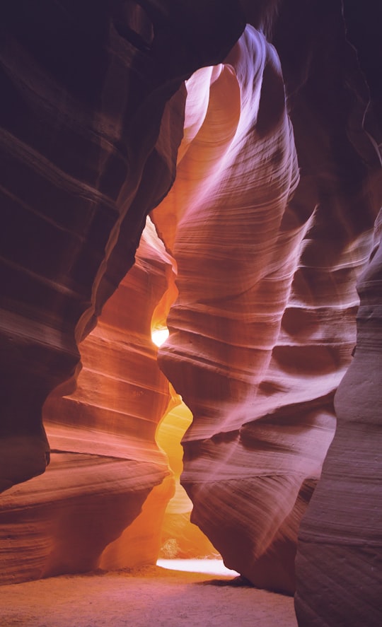

11 - Glen Canyon National Recreation Area
24 km away
Glen Canyon National Recreation Area is a recreation and conservation unit of the United States National Park Service that encompasses the area around Lake Powell and lower Cataract Canyon in Utah and Arizona, covering 1,254,429 acres of mostly rugged high desert terrain.
Learn more Book this experience
12 - Buckskin Gulch
29 km away
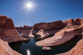
Buckskin Gulch is a gulch and slot canyon in southern Kane County, Utah, United States, near the Arizona border. It is one of the main tributaries of the Paria River.
View on Google Maps Book this experience
Disover the best Instagram Spots around Marble Canyon here
Book Tours and Activities in Marble Canyon
Discover the best tours and activities around Marble Canyon, United States and book your travel experience today with our booking partners
Pictures and Stories of Marble Canyon from Influencers
Picture from Donald Giannatti who have traveled to Marble Canyon
Plan your trip in Marble Canyon with AI 🤖 🗺
Roadtrips.ai is a AI powered trip planner that you can use to generate a customized trip itinerary for any destination in United States in just one clickJust write your activities preferences, budget and number of days travelling and our artificial intelligence will do the rest for you
👉 Use the AI Trip Planner
Why should you visit Marble Canyon ?
Travel to Marble Canyon if you like:
️🏜️ BadlandsWhere to Stay in Marble Canyon
Discover the best hotels around Marble Canyon, United States and book your stay today with our booking partner booking.com
More Travel spots to explore around Marble Canyon
Click on the pictures to learn more about the places and to get directions
Discover more travel spots to explore around Marble Canyon
️🏜️ Badlands spots ️🏜️ Canyon spotsTravel map of Marble Canyon
Explore popular touristic places around Marble Canyon
